Precision Flight.
Actionable Insight.
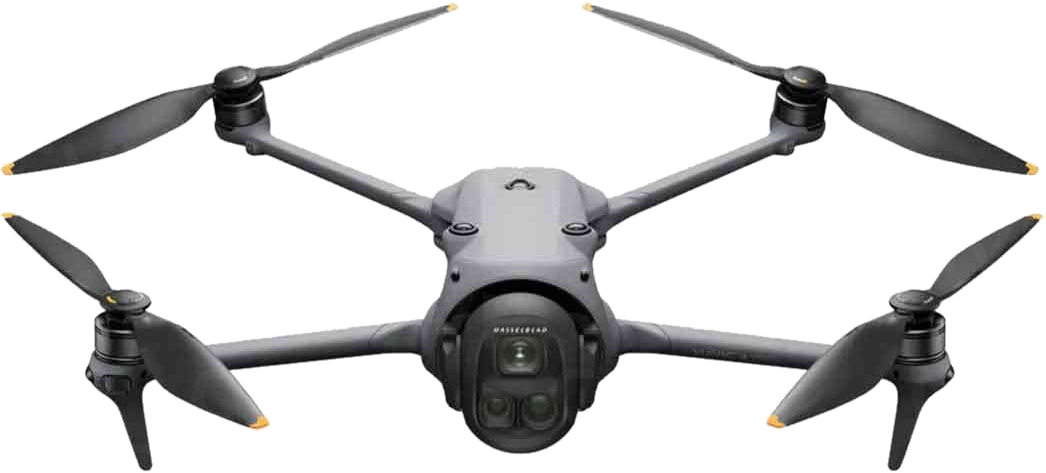
Providing professional, CAA-compliant drone surveyance, multispectral agricultural mapping, and high-end cinematic media across Norfolk and East Anglia.
Captured from 120 metres.
Delivered in 4K.
Genuine field footage from our operations — coastal surveys, offshore wind, heritage roofs, and the Broads. Every frame flown and graded in-house.
Our Specialized Service Divisions
Delivering high-value, cost-efficient data and media across three core industries.
Precision Agriculture
Multispectral surveys providing NDVI crop health maps, weed detection, yield estimations, and topography models. Highly effective for large Norfolk farms.
- NDVI Vegetation Index Health Maps
- Drainage & Water Runoff Analysis
- Fertilizer & Spraying Prescription Maps
- High-Resolution Orthomosaics
Asset & Structural Inspections
High-resolution thermal and RGB inspection of roofs, chimneys, solar panels, and wind turbines. Safe inspections without expensive scaffolding.
- Roof, Gutter & Chimney Surveys
- Offshore/Onshore Wind Turbine Surveys
- Solar Panel Thermal Hotspot Scans
- Detailed PDF Defect Mapping & Reports
Commercial Media & Real Estate
Stunning 4K cinematic video and high-resolution aerial photography for Norfolk properties, luxury estates, and Broads tourism marketing.
- 4K/8K Cinematic Marketing Videos
- Premium Real Estate Aerial Stills
- Golf Course & Resort Virtual Tours
- Event & Tourism Promotion Media
Recent Field Operations
Real-world data and media captured during recent CAA-compliant flights across Norfolk.
Wind Farm Blade Integrity Survey
📍 Swaffham Wind Farm, West Norfolk
High-resolution overhead inspection of turbine nacelles and decommissioned blade structures for structural fatigue assessment.
Round Tower Church Survey
📍 St. Mary's round tower church, Norfolk
3D photogrammetry scan and high-resolution roof defect mapping of a vulnerable historic Saxon round tower.
Broadland Wetland & Farm Survey
📍 Hoveton, Norfolk Broads
Watercourse flow assessment and agricultural runoff mapping to monitor nutrient loading into private Broadland estate lakes.
Historic Drainage Mill Production
📍 Thurne Dyke, Norfolk Broads
Cinematic landscape filming and aerial photography for regional tourism marketing and historic landmark archiving.
Why Local Businesses Choose Us
Norfolk’s topography and economy require specific solutions. From surveying coastal erosion in Hemsby to mapping sugar beet fields near Dereham, our local presence, weather agility, and compliance knowledge ensure we deliver when other national firms can't.
Instant Drone Survey Quote & Booking
Select your requirements to calculate an instant estimated quote and lock in your booking.
Configure Your Flight
Compliant with CAA regulations, standard pilot risk assessments, and full insurance coverage included.
Schedule Flight
Survey Observations
Flight was conducted at 120m AGL using the DJI Mavic 3 Multispectral under clear skies (light winds 8kts NE). The NDVI report indicates high nitrogen uptake across the majority of the field, with some localized stress (red zones) indicating possible compacted headlands in the northeast corner. Drainage lines are functioning properly with no evidence of pooling.
Pilot Operations Portal
Primary Pilot: Lead Operator (GVC Certification)Pre-Flight RAMS Checklist
Complete this Risk Assessment Method Statement before every commercial drone flight to generate a CAA-compliant Flight Authorization Code.
Commercial Flight Logs
All flights must be logged as per CAA Operator requirements. (Saved locally).
| Date | Location | Aircraft | Duration | Auth Code |
|---|---|---|---|---|
| 05 Jun 2026 | Dereham Road | Mavic 3E | 42 mins | FL-8812-A |
| 02 Jun 2026 | Happisburgh | Matrice 350 | 65 mins | FL-7239-K |
Quick Log Completed Flight
Fleet Status
Active Airspace Reference
Visual mapping reference for the currently active flight operations zone.
Horizon Brand Hub & Media Kit
Examine brand visual guides, social media copywriting, digital brochures, and commercial templates.
Visual Style Guide
Color Palette
Typography
Brand Voice
"Sovereign, professional, scientific, precise. We do not write hype; we present technical competence, regulatory clarity, and actionable intelligence to premium Norfolk businesses."
Business Card Mockup
Interactive frontend preview of the Horizon business card (Double-Sided).
B2B Printable Flyer Layout
Interactive A5 flyer preview. Ready for regional print runs targeting Norfolk trade, farmers, and estate agents.